ViewTube

ViewTube
Sign inSign upSubscriptions
Filters

Upload date

Type

Duration

Sort by

Features

Reset

17 results

LazyDataDev
Easy Interactive Map - Plot Cities and Population with Python Folium

In today's video, we explore how to: * use Python Folium library to create a map with a few lines of code * use Pandas to read from ...

11:07
Easy Interactive Map - Plot Cities and Population with Python Folium

34 views

3 weeks ago

Renzo Caceres Rossi
🐍 Folium - Interactive Maps in Python | Leaflet - Latitude - Longitude - Marker - OpenStreetMap 🗺️

The following video shows how to create interactive maps in Python using the Folium library. We'll show you how to create the ...

15:37
🐍 Folium - Interactive Maps in Python | Leaflet - Latitude - Longitude - Marker - OpenStreetMap 🗺️

88 views

3 weeks ago

Data Science for Public Health
Folium Heat Maps for Epidemiology in Python

This short tutorial video is about use the folium package in Python to create interactive heat maps and time-series heat maps.

13:06
Folium Heat Maps for Epidemiology in Python

15 views

13 days ago

Blogs programacionparatodos y huertoencasayjardin
¡Deja de pelear con datos del INEGI! Analizando Divorcios con Python y Folium

En este video te enseño cómo analizar los microdatos de divorcios del INEGI usando Python y Pandas, y cómo crear un mapa ...

5:13
¡Deja de pelear con datos del INEGI! Analizando Divorcios con Python y Folium

13 views

3 weeks ago

GIS Developer
Python Geospatial Visualization EXPLAINED | GeoPandas, Matplotlib & Plotly

In this tutorial, we explore how to visualize geospatial data in Python without using Folium — a common challenge for GIS ...

27:16
Python Geospatial Visualization EXPLAINED | GeoPandas, Matplotlib & Plotly

0 views

2 days ago

PyData
Matthew Cox-Animating Equity: Python Dashboards 4 Small-Town Housing + Displacement Rise-Global 2025

This talk demonstrates how open-source Python tools like censusdis, pandas, and folium can be combined to create an interactive ...

28:35
Matthew Cox-Animating Equity: Python Dashboards 4 Small-Town Housing + Displacement Rise-Global 2025

40 views

3 weeks ago

JSA Media Technology
Live Python Analysis: BEVs Growing Faster Than Everyone Thinks

In Python Episode #5, we analyze real electric vehicle registration data from Data.gov to answer a powerful question: Are 100% ...

1:50:21
Live Python Analysis: BEVs Growing Faster Than Everyone Thinks

21 views

5 days ago

Coding With Shuddho
I Tracked a Phone Number Location using Python!

Here is a description optimized for YouTube's algorithm. It includes the necessary keywords to help your video rank for 48 python ...

11:01
I Tracked a Phone Number Location using Python!

182 views

2 weeks ago

EasyDataScience
Python Data Visualization Matplotlib session 33

This video is part 33 of Python full beginning course tutorials. And focus of this video is on Python Data Visualization using ...

4:06:06
Python Data Visualization Matplotlib session 33

83 views

Streamed 3 weeks ago

SPATIAL WINGS
Show Map Using Python | Load GeoJSON & Add Satellite Basemap | Web GIS Tutorial || Spatial Wings

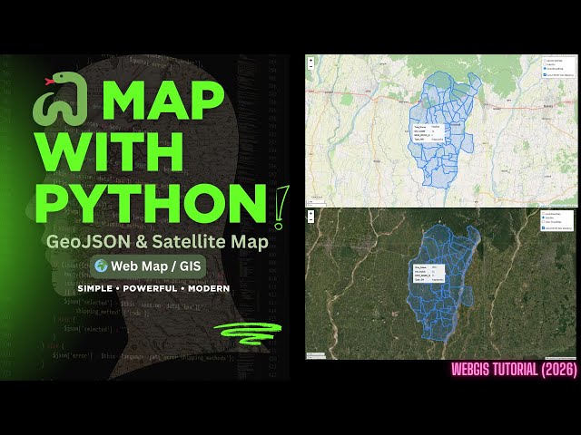
Show Map Using Python | Load GeoJSON & Add Satellite Basemap | Web GIS Tutorial || Spatial Wings #PythonGIS #GeoJSON ...

2:25
Show Map Using Python | Load GeoJSON & Add Satellite Basemap | Web GIS Tutorial || Spatial Wings

17 views

3 weeks ago

vlogize
Wie man Text in Google Maps im Jupyter Python Notebook anzeigt: Ein Leitfaden zur Verwendung von Fo

Entdecken Sie, wie Sie effektiv Text in Google Maps im Jupyter Python Notebook anzeigen können. Erforschen Sie eine einfache ...

1:59
Wie man Text in Google Maps im Jupyter Python Notebook anzeigt: Ein Leitfaden zur Verwendung von Fo

0 views

5 days ago

Jerome Forestwood
The Map That Broke Vancouver | Neighbourhood Check Up 🇨🇦

Vancouver is changing faster than ever before. 🏙️ For 100 years, our city has been stuck in a "Paper Fortress"—a bunch of old ...

16:09
The Map That Broke Vancouver | Neighbourhood Check Up 🇨🇦

2,059 views

4 weeks ago

divyanshi kashyap
Map My Safety Toronto - Alameda hacks

MapMySafety - AI-Powered Crime Analytics for Toronto | Alameda Hacks 2026 🗺️ **Making Toronto safer through data science ...

8:02
Map My Safety Toronto - Alameda hacks

1 view

3 weeks ago

Fahad Ahmed
PowerGrid AI: Predictive Intelligence for Infrastructure Project Risk Management

Project PowerGrid AI: Our official submission for the Smart India Hackathon 2025. This video provides a complete demonstration ...

7:28
PowerGrid AI: Predictive Intelligence for Infrastructure Project Risk Management

13 views

4 weeks ago

Vishnu sk
UrbanAI: Official Technical Demo | Working Prototype

This video demonstrates the live interface of UrbanAI, a Smart City Command Center built to automate municipal waste ...

3:11
UrbanAI: Official Technical Demo | Working Prototype

0 views

3 days ago

Kenu Heo
📊 Data Visualization & MCP Study Complete Summary 2026 01 15 20 02 10

# 📊 Complete Data Visualization & MCP Study Guide ## 🎯 What this video covers: - Basic concepts of data visualization and its ...

42:03
📊 Data Visualization & MCP Study Complete Summary 2026 01 15 20 02 10

72 views

2 weeks ago

Ayu Rizki Fajarna
UAS Pengolahan Data Spasial – Clustering K-Means Sekolah Jakarta

Video ini merupakan presentasi tugas Ujian Akhir Semester (UAS) mata kuliah Pengolahan Data Spasial. Nama : Ayu Rizki ...

7:09
UAS Pengolahan Data Spasial – Clustering K-Means Sekolah Jakarta

18 views

3 weeks ago