Upload date
All time
Last hour
Today
This week
This month
This year
Type
All
Video
Channel
Playlist
Movie
Duration
Short (< 4 minutes)
Medium (4-20 minutes)
Long (> 20 minutes)
Sort by
Relevance
Rating
View count
Features
HD
Subtitles/CC
Creative Commons
3D
Live
4K
360°
VR180
HDR
180 results
Using Latitude and Longitude for modern spatial analytics is often too messy, too slow, and too hard to scale. If you want to ...
314 views
11 hours ago
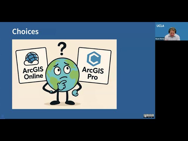
Webinar Recording | Spatial Data Science on ArcGIS Pro Discover how Spatial Data Science is transforming decision-making ...
30 views
5 days ago
It acts as a "Rosetta Stone" for spatial data, supporting over 200 different formats. In this video, we break down what GDAL actually ...
1,603 views
6 days ago
Through a real-world case study of processing multi-source geospatial data for small-area estimation of poverty, we'll explore ...
56 views
4 days ago
The title of our module today is geospatial data for market analysis which is a very important topic we will focus on leveraging ...
1 view
Monday, October 6, 2025, 10:00am-12:00pm, zoom Led by Ryan Horne ESRI is a leading industry provider of geospatial tools ...
28 views
1 day ago
Climate change is driving human migration worldwide—but geospatial models allow us to predict future displacement before it ...
61 views
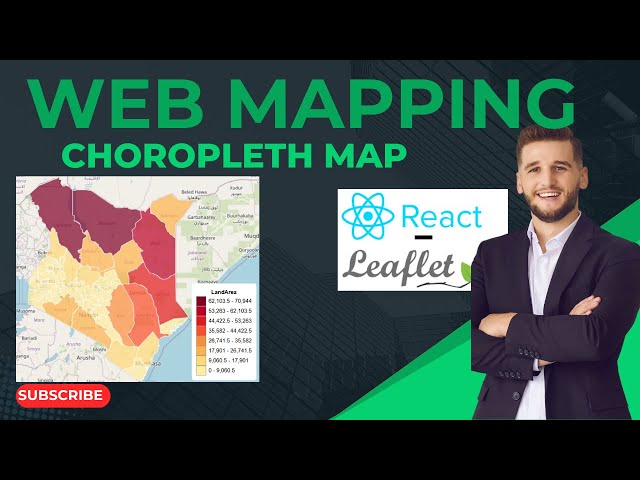
In this tutorial, you'll learn how to build a web mapping application using React Leaflet, focusing on creating an interactive ...
20 views
I've just shared a new tutorial where I demonstrate a complete R-based GIS workflow for analyzing wildfire burned area across the ...
75 views
3 days ago
"Geospatial data analysis with python": https://www.udemy.com/course/geospatial-data-analysis-with-python/?
180 views
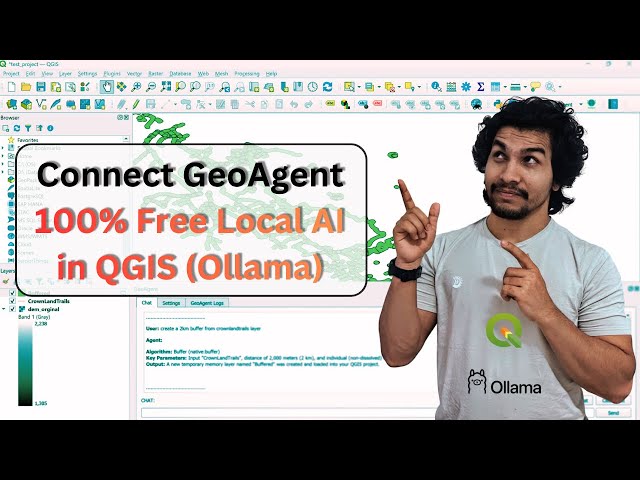
Want to make QGIS more powerful? Plugins are the secret to transforming QGIS from a basic mapping tool into a full geospatial ...
0 views
3 hours ago
Learn how to install PostgreSQL and the powerful PostGIS extension for geospatial data management and GIS applications.
Location data becomes truly powerful when combined with intelligence. Heli AI Software transforms raw geospatial and ...
... satellite data, visualization techniques, programming with Earth Engine, JavaScript, geospatial data analysis, open-source tools ...
82 views
... and managing spatial data. In this video, you'll discover: What GIS really means How GIS works in everyday applications Why ...
26 views
Video Description** **Intro:** In this lecture, we dive into the complexities of Spatio-Temporal statistics using R. We focus on a ...
Pedestrian safety isn't just about adding more infrastructure; it starts with understanding existing conditions. We asked #MapEcho ...
In this episode of the Geoawesome Meetup, Muthu talks with experts from UP42 and AI Dash about making geospatial data ...
68 views
Discover ARMA by Heliware, a powerful geospatial platform built for 360° imaging and spatial data visualization. ARMA brings ...
3 views