Upload date
All time
Last hour
Today
This week
This month
This year
Type
All
Video
Channel
Playlist
Movie
Duration
Short (< 4 minutes)
Medium (4-20 minutes)
Long (> 20 minutes)
Sort by
Relevance
Rating
View count
Features
HD
Subtitles/CC
Creative Commons
3D
Live
4K
360°
VR180
HDR
25 results
En este video aprenderás cómo integrar QGIS con Python utilizando Jupyter Notebook para crear flujos de trabajo geoespaciales ...
127 views
20 hours ago
Dans cette vidéo, je vous montre pas à pas comment créer un script Python et l'utiliser dans QGIS via la console Python.
102 views
1 day ago
This video shows how to install the required Python dependencies for the Zonify QGIS plugin. After installing Zonify from the QGIS ...
0 views
7 days ago
Is your GIS software limiting how fast and how far you can analyze spatial data? In this video, we explore Quantum GIS (QGIS) ...
96 views
6 days ago
En este tutorial aprenderás cómo instalar y configurar el plugin de Google Earth Engine (GEE) en QGIS, integrando el poder de la ...
499 views
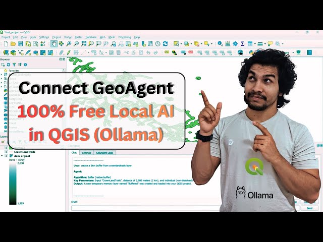
Ever wanted to talk to QGIS like ChatGPT? In this tutorial, I show how to connect free local LLMs using Ollama with the ...
293 views
Join our upcoming online live training program starting on 23rd January 2026, where you will gain hands-on experience in using ...
295 views
5 days ago
Using Latitude and Longitude for modern spatial analytics is often too messy, too slow, and too hard to scale. If you want to ...
1,265 views
143 views
4 days ago
FGIS Practical 6 | Working with Projections and WMS Data Using QGIS TYBSc IT Sem 6 | Mumbai University Syllabus This is a ...
26 views
En este video aprenderás cómo instalar Debian 13 en una máquina virtual usando VirtualBox, paso a paso y desde cero.
50 views
This video is a tutorial for GIS beginners. We show how to use the location selection function in QGIS to filter features on a ...
27 views
Welcome to the 9th video in our GeoPandas Series! In this tutorial, we introduce you to Geoseries Link To Github Repo: ...
3 days ago
Al detectar un foco de calor donde se inicia un incendio forestal, podemos analizar y pronosticar cómo se va a propagar el fuego, ...
87 views
This video showcases the preparation of a GIS project for the Cotonou City Hall, focusing on the optimal location for a new ...
37 views
Automatizzare con Python la redazione del certificato di destinazione urbanistica. Visita il mio repository GitHub per il codice ...
17 hours ago
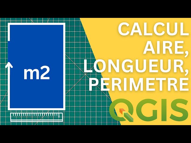
Comment calculer automatiquement un périmètre dans QGIS ? Comment calculer automatiquement une longueurs dans QGIS ?
11 views
3 hours ago
Welcome to this lesson, which marks the concrete beginning of your data visualization project. We'll see how to import a ...
6 views
Questa azione python permette di automatizzare la generazione del certificato di destinazione urbanistica avvalendosi di una ...
14 hours ago
Bem-vindo ao canal! Neste vídeo, apresentamos a bdgd2dss uma biblioteca Python desenvolvida para converter e modelar ...
25 views