Upload date
All time
Last hour
Today
This week
This month
This year
Type
All
Video
Channel
Playlist
Movie
Duration
Short (< 4 minutes)
Medium (4-20 minutes)
Long (> 20 minutes)
Sort by
Relevance
Rating
View count
Features
HD
Subtitles/CC
Creative Commons
3D
Live
4K
360°
VR180
HDR
145,875 results
Get the course files here: ...
68,188 views
1 year ago
Ready to move beyond desktop GIS? Step into the Spatial Lab: a global community for ambitious geospatial professionals who ...
12,491 views
10 months ago
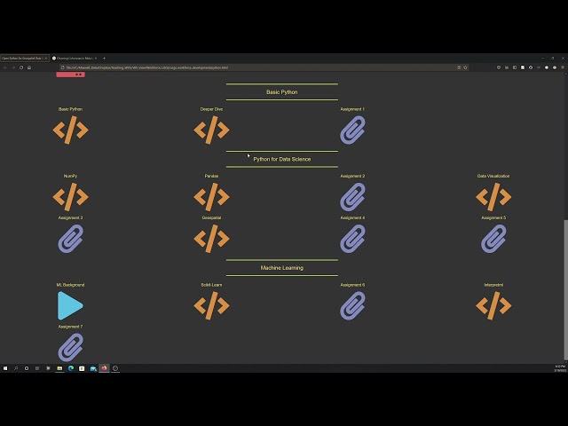
Workshop materials available here: https://github.com/yohman/workshop-python-spatial-stats Visual interpretations are ...
17,267 views
4 years ago
13,109 views
Sign up for our free webinar series and see what's coming up next! https://cambridgespark.com/webinar About this webinar: The ...
2,642 views
Streamed 8 years ago
... you a GIS data science expert and greatly improve your geospatial skillset, allowing you to perform complex spatial analysis.
5,119 views
6 months ago
Introduction to Spatial Data Analysis with Python #Map-Projection and #CoordinateSystems in #ArcGIS A Complete QGIS Tutorial ...
3,671 views
by Jenny Palomino Attendees will learn about geoprocessing, analyzing and visualizing spatial data using Python and how it ...
20,377 views
10 years ago
25,187 views
2 years ago
Speakers in this part of the workshop: Fabian Theis & Giovanni Palla (Helmholtz Munich, Germany) The workshop was held by ...
8,192 views
3 years ago
qgis #gis #opensource.
2,196 views
7 months ago
Speaker: Christy Heaton In this tutorial, we will introduce Python as a spatial problem solving and data visualization tool.
4,359 views
7 years ago
We introduce the python shapely library for manipulating polygons.
1,174 views
This video was produced by West Virginia View (http://www.wvview.org/) with support from AmericaView (https://americaview.org/) ...
346 views
This "Geospatial Analysis With Python" is a beginner's course for those who want to learn the use of python for gis and geospatial ...
41,741 views
28,926 views
But, before we dive into the fascinating world of manipulating and analysing spatial data, let us pause for a second and define ...
10,142 views
5 years ago
This tutorial is an introduction to geospatial data analysis in Python, with a focus on the Python Spatial Analysis Library (PySAL).
12,653 views
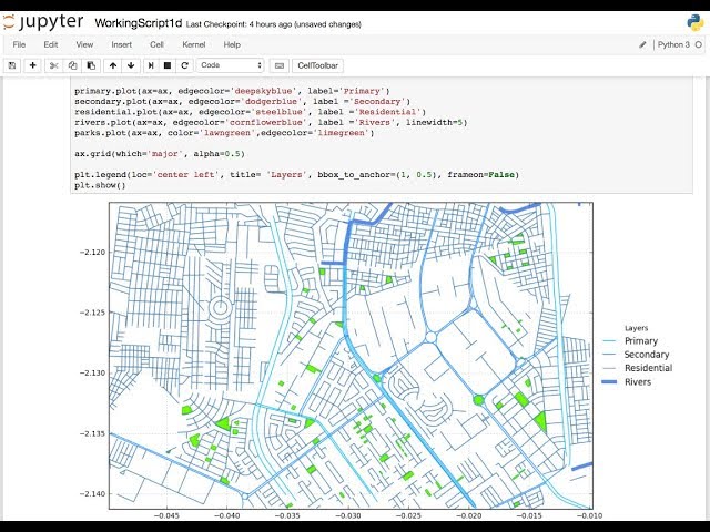
GeoPandas is the geospatial implementation of the big data oriented Python package called Pandas. GeoPandas enables the ...
22,443 views
Streamed 7 years ago
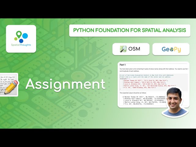
This video is part of our Python Foundation for Spatial Analysis course. Access the full course material at ...
1,521 views
This is an introductory tutorial to Python Geopandas library. In this tutorial, you will learn how to install the Geopandas library ...
117,014 views
GIS functionality is not centralized within one library in the Python programming language. This video explores multiple Python ...
814 views
This overview and tutorial describes how to begin using the H3 spatial indexing system for geospatial analysis and spatial data ...
9,491 views
This session focuses on using Python with spatial data stored in the Oracle Database. You will see live several examples of using ...
633 views
Whar are the differences between vector data, including points, lines, and polygons, and raster data? #SpatialData #VectorData ...
3,395 views