Upload date
All time
Last hour
Today
This week
This month
This year
Type
All
Video
Channel
Playlist
Movie
Duration
Short (< 4 minutes)
Medium (4-20 minutes)
Long (> 20 minutes)
Sort by
Relevance
Rating
View count
Features
HD
Subtitles/CC
Creative Commons
3D
Live
4K
360°
VR180
HDR
2,389 results
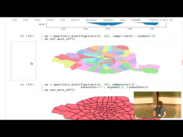
Alex Raichev https://nz.pycon.org/schedule/presentation/172/ I will give a short, example-driven introduction to GeoPandas, ...
5,448 views
8 years ago
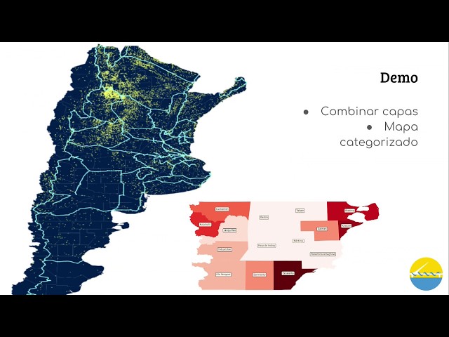
La propuesta es que al finalizar la charla, el asistente tenga un vistazo general de dos aspectos: Los sistemas de información ...
7,569 views
6 years ago
hello there, in this lesson, we will use geopandas and matplotlib to plot a geographic map from a CSV file with longitude and ...
64,286 views
5 years ago
In this comprehensive GIS tutorial, we'll move beyond basic mapping to answer a critical urban planning question: How ...
2,592 views
7 months ago
Presenter: Joris Van den Bossche.
12,402 views
by Joris Van den Bossche At: FOSDEM 2018 Room: AW1.126 Scheduled start: 2018-02-04 11:30:00+01.
6,305 views
7 years ago
This workshop is ideal for someone who has recently started using python and exploring the possibilities of it in the GIS industry.
1,431 views
4 years ago
hello there, in this video, we get started with our first run of geopandas using jupyter notebook checkout my python beginner ...
4,838 views
Learn how to use of Python for gis and geospatial analysis. This course will cover the basics of geopandas for beginners for ...
485 views
3 years ago
Reading single feature as dict into GeoDataFrame with GeoPandas I hope you found a solution that worked for you :) The Content ...
8 views
2 years ago
For more information on Nick Eagles, check https://bsky.app/profile/nick-eagles.bsky.social. For more information about the ...
28 views
5 months ago
Geopandas installation make spyder and python crash Helpful? Please support me on Patreon: ...
11 views
GIS: Calculate distance between a coordinate and a county in GeoPandas Helpful? Please support me on Patreon: ...
159 views
EuroPython 2024 — Terrace 2A on 2024-07-10] GeoPandas 1.0 and beyond by Martin Fleischmann ...
196 views
1 year ago
GeoPandas to pull attributes from polygons based on point coordinates Hey guys! Hopefully you found a solution that helped you!
9 views
TRANSFORM 2020 - Virtual Conference Speaker: Martin Bentley To access the repos link: https://swu.ng/t20-fri-geo Dedicated ...
3,696 views
Streamed 5 years ago
For python users, mapping spatial data is made a lot easier by the GeoPandas library. However, it does have some limitations.
388 views
GIS: Multiple Spatial Joins with GeoPandas in Python Helpful? Please support me on Patreon: ...
17 views
hello there, in this video, we install geopandas and descrates. we will be using these to plot map data from shape files and ...
490 views
GeoPandas is one of the core packages in the Python ecosystem to work with geospatial vector data. By combining the power of ...
46 views


![[2025-08-08] Intro to GeoPandas for spatial operations](/api/proxy/image?url=https%3A%2F%2Fi.ytimg.com%2Fvi%2FmXMcPmLUuu8%2Fsddefault.jpg)


