Upload date
All time
Last hour
Today
This week
This month
This year
Type
All
Video
Channel
Playlist
Movie
Duration
Short (< 4 minutes)
Medium (4-20 minutes)
Long (> 20 minutes)
Sort by
Relevance
Rating
View count
Features
HD
Subtitles/CC
Creative Commons
3D
Live
4K
360°
VR180
HDR
50 results
In this comprehensive GIS tutorial, we'll move beyond basic mapping to answer a critical urban planning question: How ...
2,630 views
8 months ago
In this video, we'll explore the quickest and most efficient methods to plot coordinates directly on a map within a Jupyter Notebook.
5 views
4 months ago
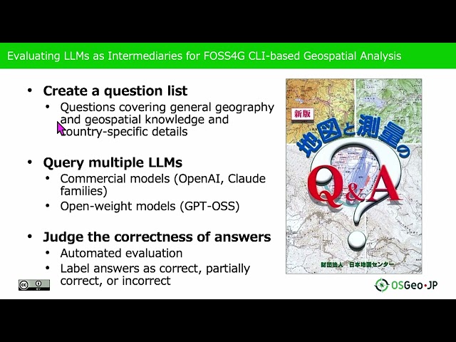
Presented by Nobusuke Iwasaki, Ayaka Onohara on 20 November 2025 09:05, at FOSS4G 2025 Auckland. Track: Lightning talk ...
54 views
1 month ago
In this video, we'll explore the process of loading JSON data into a GeoDataFrame using Python. GeoDataFrames are essential ...
0 views
2 months ago
In this video, we will explore a powerful technique for matching data frames based on geographic proximity using Python.
1 view
In this video, we will explore how to calculate the distance between geographical coordinates represented by latitude and ...
7 views
11 months ago
In this video, we delve into the fascinating world of spatial data analysis using the S2/S2sphere library in Python. We'll explore ...
9 views
9 months ago
In this video, we'll explore how to efficiently find the nearest point from a user's location using GeoDjango, a powerful geographic ...
8 views
In this video, we will explore how to retrieve longitude and latitude coordinates from Node IDs using OSMnx, a powerful Python ...
6 views
Whether you're a data scientist, urban planner, or just curious about geospatial analysis, this step-by-step guide will show you ...
Presented by Kyle Barron on 21 November 2025 09:00, at FOSS4G 2025 Auckland. Track: Tools, Libraries & Visualisation Full ...
44 views
For more information on Nick Eagles, check https://bsky.app/profile/nick-eagles.bsky.social. For more information about the ...
28 views
5 months ago
Whether you're a seasoned data scientist or just starting your journey with geospatial analysis in Python, encountering import ...
3 months ago
In this video, we'll walk you through the process of installing GDAL, a powerful geospatial data abstraction library, in Python 3.6.1 ...
25 views
7 months ago
Luca Marconato, Senior Software Developer @ EMBL (Genome Biology Unit, Oliver Stegle Lab, Germany, speaks on “Addressing ...
105 views
From R+AI 2025, hosted by R Consortium Aaron Maxwell Associate Professor, West Virginia University Abstract The R package ...
386 views
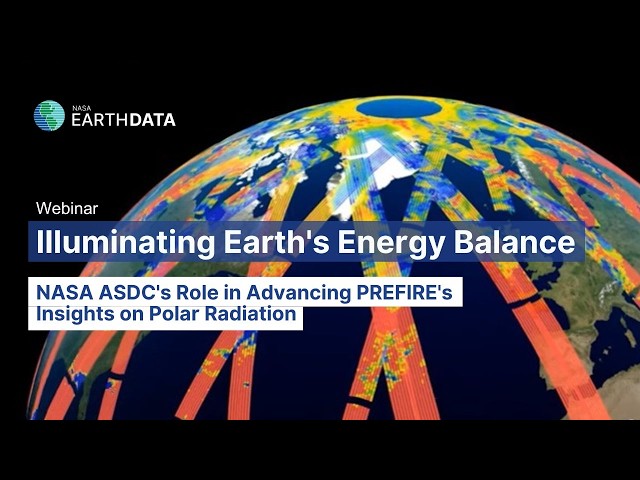
In this webinar, speakers from NASA's Atmospheric Science Data Center (ASDC) and the Polar Radiant Energy in the ...
64 views
9 days ago
Presented by Phil Clunies-Ross on 21 November 2025 09:50, at FOSS4G 2025 Auckland. Track: Lightning talk Full presentation ...
43 views
In this video, we delve into the essential technique of finding the nearest points in datasets using Python. Whether you're working ...
24 views
6 months ago
In this video, we will explore the powerful technique of kriging for interpolating station data using Python. Whether you're working ...


![[2025-08-08] Intro to GeoPandas for spatial operations](/api/proxy/image?url=https%3A%2F%2Fi.ytimg.com%2Fvi%2FmXMcPmLUuu8%2Fsddefault.jpg)