Upload date
All time
Last hour
Today
This week
This month
This year
Type
All
Video
Channel
Playlist
Movie
Duration
Short (< 4 minutes)
Medium (4-20 minutes)
Long (> 20 minutes)
Sort by
Relevance
Rating
View count
Features
HD
Subtitles/CC
Creative Commons
3D
Live
4K
360°
VR180
HDR
151,263 results
Get the course files here: ...
68,223 views
1 year ago
Ready to move beyond desktop GIS? Step into the Spatial Lab: a global community for ambitious geospatial professionals who ...
12,499 views
10 months ago
Workshop materials available here: https://github.com/yohman/workshop-python-spatial-stats Visual interpretations are ...
17,269 views
4 years ago
Sign up for our free webinar series and see what's coming up next! https://cambridgespark.com/webinar About this webinar: The ...
2,642 views
Streamed 8 years ago
13,112 views
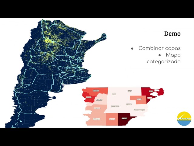
La propuesta es que al finalizar la charla, el asistente tenga un vistazo general de dos aspectos: Los sistemas de información ...
7,550 views
6 years ago
In this video, we explore the powerful combination of Google Earth Engine and Python programming for advanced land cover ...
4,606 views
3 months ago
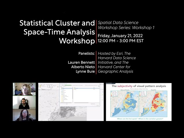
This event is part of the Harvard Affiliate Only Spatial Data Science Workshop Series. January, 21, 2022 | 12:00 PM ET Course ...
7,377 views
3 years ago
This tutorial shows you how to use select points from a layer within a certain distance from features in another layer using ...
3,592 views
2 years ago
TRANSFORM 2020 - Virtual Conference Speaker: Martin Bentley To access the repos link: https://swu.ng/t20-fri-geo Dedicated ...
3,691 views
Streamed 5 years ago
Meet SedonaDB, the newest open-source engine redefining spatial analytics. In this tutorial, I'll walk you through what SedonaDB ...
2,502 views
2 months ago
Dataset: https://github.com/iamtekson/geospatial-data-analysis-python/raw/master/data/geotiff/nepal_lc_2020.tif Full course: ...
29,811 views
This overview and tutorial describes how to begin using the H3 spatial indexing system for geospatial analysis and spatial data ...
9,492 views
PyData SF 2016 The statistician George Box once wrote that “all models are wrong, but some are useful”; the same could be said ...
56,483 views
9 years ago
Learn more: https://spatialelearning.com Get the full course: ...
27,097 views
Introduction to Spatial Data Analysis with Python #Map-Projection and #CoordinateSystems in #ArcGIS A Complete QGIS Tutorial ...
3,671 views
Speakers in this part of the workshop: Fabian Theis & Giovanni Palla (Helmholtz Munich, Germany) The workshop was held by ...
8,193 views
25,191 views
by Jenny Palomino Attendees will learn about geoprocessing, analyzing and visualizing spatial data using Python and how it ...
20,377 views
10 years ago
We introduce the python shapely library for manipulating polygons.
1,174 views
Python is a high-level, open-sourced and general-purpose programming language and it is the most popular language used in ...
247 views
Speaker: Christy Heaton In this tutorial, we will introduce Python as a spatial problem solving and data visualization tool.
4,359 views
7 years ago
qgis #gis #opensource.
2,196 views
7 months ago
This tutorial is an introduction to geospatial data analysis in Python, with a focus on the Python Spatial Analysis Library (PySAL).
12,656 views
5 years ago
This "Geospatial Analysis With Python" is a beginner's course for those who want to learn the use of python for gis and geospatial ...
41,749 views
This video was produced by West Virginia View (http://www.wvview.org/) with support from AmericaView (https://americaview.org/) ...
346 views


![FULL COURSE - Google Earth Engine Python API and Colab for Absolute Beginners in 3 Hours [2023]](/api/proxy/image?url=https%3A%2F%2Fi.ytimg.com%2Fvi%2FLqirs04EccA%2Fsddefault.jpg)