Upload date
All time
Last hour
Today
This week
This month
This year
Type
All
Video
Channel
Playlist
Movie
Duration
Short (< 4 minutes)
Medium (4-20 minutes)
Long (> 20 minutes)
Sort by
Relevance
Rating
View count
Features
HD
Subtitles/CC
Creative Commons
3D
Live
4K
360°
VR180
HDR
20 results
In this lesson, we introduce Python functions and explain how they help you write cleaner, reusable, and more efficient code for ...
0 views
14 hours ago
Milan Janosov's book provides a Python-based guide to geospatial data science. It covers vector and raster processing using ...
105 views
6 days ago
If you've built your career in ArcGIS or traditional GIS tools, you already have the hardest skill: spatial thinking. What you might be ...
2,254 views
4 days ago
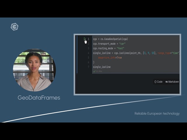
Get your Geo Data Science projects moving faster with the HERE Connector for Python by casaGeoTools. In this video, we show ...
9 views
ENVI #RemoteSensing #SpatialAnalysis #GIS #Geospatial #DataAnalysis #SoftwareTutorial In this comprehensive video, we ...
19 views
11 hours ago
Presenter: Alex Burnham, Ph.D., Data Scientist & Computer Programmer, University of Vermont Description: Although tools to ...
5 days ago
Geomatics Researcher & GIS Analyst Specializing in GIS, remote sensing, and spatial analysis for research, urban planning, and ...
15 views
7 days ago
... Sina Kashuk, co-founder of Fused, presents DuckDB + Rasters: High-Performance Geospatial Analytics with H3 Hexagons.
10 views
In this session from FOSS4G NA 2025, Joseph Holler, Matthew Mills, and Samuel Bernard of Middlebury College present ...
3 views
Air pollution is no longer just a city-wide problem — it varies street by street, minute by minute.” This project, BreathGuard, is a ...
29 views
In this session from FOSS4G NA 2025, Ted Banken presents Simplifying the Retrieval of Open Places Data. Ted discusses the ...
4 views
In this session from FOSS4G NA 2025, Adeel Hassan, a senior machine learning engineer at 84.2, presents Bringing it all ...
8 views
GISRS-1 Spatial Data & Their Management in GIS | GIS Tutorial Learn GIS step by step! In this video, we cover Spatial Data ...
17 views
في هذا المشروع نطبق منهجية متكاملة لمراقبة الإجهاد المائي للمحاصيل الزراعية باستخدام بيانات الأقمار الصناعية وتحليلها عبر Python و ...
62 views
Want a coordinate grid that automatically adjusts to your map scale in QGIS? In this video, I'll show you how to create a ...
87 views
1 day ago
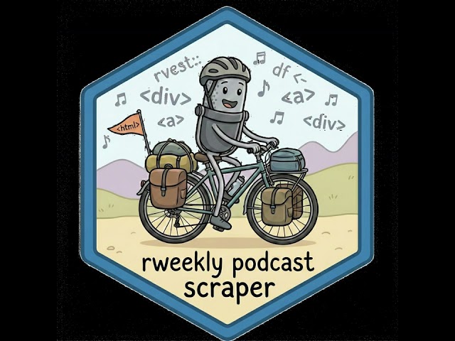
This is an unofficial project and has nothing to do with the real R-Weekly highlights podcast team. It is built on top of ...
My WhatsApp channel: https://whatsapp.com/channel/0029VakCEuE3GJOz0vr4Nr16/133 Want to learn? ⬇️I've launched my new ...
95 views
This is an essential skill for anyone involved in geospatial analysis, environmental modeling, or site suitability studies. What we ...
Bu oturumda, verinin sadece ne olduğunu değil, internetin uçsuz bucaksız köşelerinden Python kullanarak bu veriyi nasıl ...
278 views
Streamed 1 day ago
مدرس: دکتر علیرضا بنیاسدی دکترای اقلیمشناسی | مدیر نقشه و اطلاعات مکانی یک دستگاه اجرایی از سطح مقدماتی تا پیشرفته ...


![Crop Water Stress Monitoring with Sentinel-2 & Landsat 8/9 [2]](/api/proxy/image?url=https%3A%2F%2Fi.ytimg.com%2Fvi%2FTJ4i3amKbEw%2Fsddefault.jpg)