Upload date
All time
Last hour
Today
This week
This month
This year
Type
All
Video
Channel
Playlist
Movie
Duration
Short (< 4 minutes)
Medium (4-20 minutes)
Long (> 20 minutes)
Sort by
Relevance
Rating
View count
Features
HD
Subtitles/CC
Creative Commons
3D
Live
4K
360°
VR180
HDR
153 results
Run Jupyter Notebooks Directly Inside QGIS! | QGIS Notebook Plugin Tutorial Want to combine the power of QGIS with the ...
3,247 views
3 weeks ago
A New Year's gift to the geospatial community: a brand-new QGIS plugin that unlocks access to 80+ petabytes of satellite imagery ...
5,960 views
2 weeks ago
Unlock the power of Google Earth Engine directly inside QGIS with the brand new Geemap plugin! In this step-by-step tutorial, ...
1,782 views
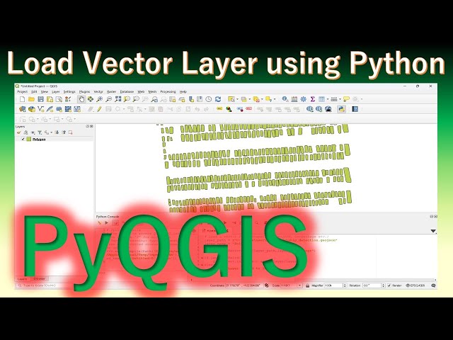
In this QGIS Python tutorial, you'll learn how to load vector data (shapefile, GeoJSON, etc.) into QGIS using Python scripting.
37 views
En este video aprenderás cómo integrar QGIS con Python utilizando Jupyter Notebook para crear flujos de trabajo geoespaciales ...
198 views
3 days ago
Did you know QGIS has a built-in Python console? With Python and PyQGIS, you can automate GIS tasks and eliminate repetitive ...
53 views
1 day ago
Create Stunning Time-Series Satellite Images in Seconds! The GEE Data Catalogs Plugin v0.5 for QGIS is now available and it's a ...
536 views
19 hours ago
Questa azione python permette di automatizzare la generazione del certificato di destinazione urbanistica avvalendosi di una ...
0 views
Introducing the Maxar Open Data Plugin for QGIS The Maxar Open Data Program, now called the Vantor Open Data Program, ...
3,694 views
11 days ago
A QGIS plugin for creating timelapse animations from satellite and aerial imagery using Google Earth Engine. Supports NAIP ...
4,325 views
Automatizzare con Python la redazione del certificato di destinazione urbanistica. Visita il mio repository GitHub per il codice ...
Every time you load a shapefile, reproject a raster, or clip a dataset, there is one tool quietly doing all the heavy lifting behind the ...
2,167 views
Dans cette vidéo, je vous montre pas à pas comment créer un script Python et l'utiliser dans QGIS via la console Python.
162 views
How to Use Python Console in Qgis - Full Guide | Surfshark VPN Deal — Stay private and secure. $1.99/mo + 3 Months Free ...
Introducing the NASA Earthdata Plugin for QGIS! NASA's Earthdata archive hosts over 120 petabytes of satellite imagery and ...
2,164 views
Python for QGIS is highly effective for automating your processes (geoprocessing, layout, exports, quality control, etc ...
268 views
5 days ago
Using topographical data from QGIS i was able to make an instrument in ableton play the graph data on a Chromatic Scale of ...
2 days ago
In a practical way, we created a vector database and a raster database using the Notebook plugin in QGIS. This application ...
190 views
How to Update Python in Qgis - Easy Guide | Surfshark VPN Deal — Stay private and secure. $1.99/mo + 3 Months Free ...
Tired of repeating the same GIS steps in QGIS? In this video, you'll learn how PyQGIS lets you automate spatial workflows using ...
25 views