Upload date
All time
Last hour
Today
This week
This month
This year
Type
All
Video
Channel
Playlist
Movie
Duration
Short (< 4 minutes)
Medium (4-20 minutes)
Long (> 20 minutes)
Sort by
Relevance
Rating
View count
Features
HD
Subtitles/CC
Creative Commons
3D
Live
4K
360°
VR180
HDR
17 results
Did you know QGIS has a built-in Python console? With Python and PyQGIS, you can automate GIS tasks and eliminate repetitive ...
53 views
1 day ago
En este video aprenderás cómo integrar QGIS con Python utilizando Jupyter Notebook para crear flujos de trabajo geoespaciales ...
198 views
3 days ago
Create Stunning Time-Series Satellite Images in Seconds! The GEE Data Catalogs Plugin v0.5 for QGIS is now available and it's a ...
572 views
21 hours ago
Dans cette vidéo, je vous montre pas à pas comment créer un script Python et l'utiliser dans QGIS via la console Python.
162 views
4 days ago
Tired of repeating the same GIS steps in QGIS? In this video, you'll learn how PyQGIS lets you automate spatial workflows using ...
25 views
2 days ago
FGIS Practical 7 | Georeferencing Topo Sheets, Aerial Imagery & Digitizing Map Data Using QGIS TYBSc IT Sem 6 | Mumbai ...
23 views
Udemy: https://www.udemy.com/course/google-earth-engine-supervised-classification-for-lulc/?
0 views
Welcome to the 9th video in our GeoPandas Series! In this tutorial, we introduce you to Geoseries Link To Github Repo: ...
6 days ago
Titel: TOPO4EO – A paradigm shift in the access and provision of high-resolution country wide geospatial data Vortragender: DI ...
6 views
1 hour ago
Join our upcoming online live training program starting on 23rd January 2026, where you will gain hands-on experience in using ...
182 views
7 days ago
FGIS Practical 8 | Managing Data Tables & Spatial Data Sets Using QGIS TYBSc IT Sem 6 | Mumbai University Syllabus By ...
5 views
22 hours ago
Automatizzare con Python la redazione del certificato di destinazione urbanistica. Visita il mio repository GitHub per il codice ...
Using topographical data from QGIS i was able to make an instrument in ableton play the graph data on a Chromatic Scale of ...
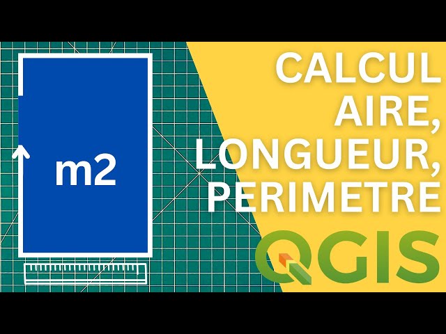
Comment calculer automatiquement un périmètre dans QGIS ? Comment calculer automatiquement une longueurs dans QGIS ?
44 views
Questa azione python permette di automatizzare la generazione del certificato di destinazione urbanistica avvalendosi di una ...
"TypeError: unsupported operand type(s) for /: 'QVariant' and 'int'" when automatically updating with PyQGIS Hey guys! Hopefully ...
Durante os meses de dezembro e de janeiro o podcast O Fascinante Mundo do Sensoriamento Remoto entrará em recesso e ...
17 views