ViewTube

ViewTube
Sign inSign upSubscriptions
Filters

Upload date

Type

Duration

Sort by

Features

Reset

74,060 results

Matt Forrest
5 Python Libraries Every GIS Pro Needs to Know!

... you a GIS data science expert and greatly improve your geospatial skillset, allowing you to perform complex spatial analysis.

1:15
5 Python Libraries Every GIS Pro Needs to Know!

6,148 views

7 months ago

GIScience
#python #spatial #datascience #pyqgis

qgis #gis #opensource.

1:08
#python #spatial #datascience #pyqgis

2,349 views

8 months ago

Matt Forrest
Visualize geographic data in Python!

Ready to move beyond desktop GIS? Step into the Spatial Lab: a global community for ambitious geospatial professionals who ...

3:25
Visualize geographic data in Python!

13,752 views

1 year ago

Koyel Chakraborty
Spatial Data Analysis in GIS: Vector data analysis with Python- Day 1 #gis #geospatial #dataanalysis

This video is about spatial data analysis in GIS. Learn how to analyze vector data using python. Vector data model is a common ...

0:42
Spatial Data Analysis in GIS: Vector data analysis with Python- Day 1 #gis #geospatial #dataanalysis

2,914 views

7 months ago

Florent Poux
Top Geospatial Python Libraries and 3D Data Integration #python #geospatial #3d

Processing geospatial data captured from sensors and vectors in a city or landscape is key. The article covers processes like ...

0:52
Top Geospatial Python Libraries and 3D Data Integration #python #geospatial #3d

1,796 views

1 year ago

famedancer713
Spatial Analysis in ArcGIS Pro #SpatialAnalysis #ArcGISPRO #DataAnalytics #Geospatial #DataScience
0:16
Spatial Analysis in ArcGIS Pro #SpatialAnalysis #ArcGISPRO #DataAnalytics #Geospatial #DataScience

63,480 views

3 years ago

GIScience
#python #spatial #datascience ArcPy

gis #arcgispro @RITCertified.

1:35
#python #spatial #datascience ArcPy

1,348 views

8 months ago

Koyel Chakraborty
Spatial Data Analysis in GIS: Vector data analysis with Python- Day 2 #gis #geospatial #dataanalysis

This video is about spatial data analysis in GIS. Learn how to analyze vector data using python. Vector data model is a common ...

0:55
Spatial Data Analysis in GIS: Vector data analysis with Python- Day 2 #gis #geospatial #dataanalysis

364 views

6 months ago

Spatial Thoughts
Welcome to Python Foundation for Spatial Analysis Course

This video is part of our Python Foundation for Spatial Analysis course. Access the full course material and download the ...

1:31
Welcome to Python Foundation for Spatial Analysis Course

16,913 views

1 year ago

Saroj Nayak
Spatial plotting of locations using Jupyter notebook

Dear Viewers, Here we will see how to use the Jupyter notebook to plot locations. Reference: ...

1:51
Spatial plotting of locations using Jupyter notebook

480 views

4 years ago

MAPOG
How to Create Land Parcel Polygon Maps | GIS & Spatial Analysis #GIS #UrbanPlanning #MappingTools

Want to accurately delineate land parcels for urban planning, real estate, or property assessment? In this tutorial, we'll show you ...

2:00
How to Create Land Parcel Polygon Maps | GIS & Spatial Analysis #GIS #UrbanPlanning #MappingTools

406 views

11 months ago

Geospatial Analysis
GeoAI building detection using Python from Lidar. #geoai #googleearthengine #sam #pythongis
0:22
GeoAI building detection using Python from Lidar. #geoai #googleearthengine #sam #pythongis

1,383 views

7 months ago

Curiosity Data Analytics
Python Geospatial Viz Libraries | Folium, Leafmap, Pydeck & Kepler.gl

In this video, we compare four popular Python libraries for geospatial visualization: Folium, Leafmap, Pydeck, and Kepler.gl.

1:01
Python Geospatial Viz Libraries | Folium, Leafmap, Pydeck & Kepler.gl

1,682 views

1 year ago

LandSpace Architecture
How to extract GIS data with AI? #architecture #landscapearchitecture #map #urbandesign

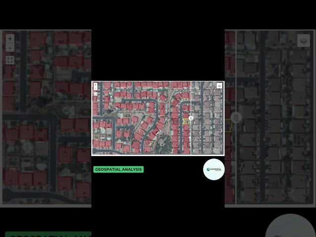
How to extract GIS data online with AI check out this AI powered mapping tool simply type in your prompt and it will extract GIS ...

0:38
How to extract GIS data with AI? #architecture #landscapearchitecture #map #urbandesign

22,527 views

1 year ago

Deep Charts
Ordinary Kriging in Python in 4 Minutes

Each of these models has different characteristics and suitability for various types of spatial data. The choice of variogram model ...

3:39
Ordinary Kriging in Python in 4 Minutes

4,161 views

1 year ago

Spatial Thoughts
Exercise 02 - Data Structures - Python Foundation for Spatial Analysis

This video is part of our Python Foundation for Spatial Analysis course. Access the full course material at ...

0:54
Exercise 02 - Data Structures - Python Foundation for Spatial Analysis

2,814 views

1 year ago

Discover AI
Folium + Shapely + leaflet.js + GeoPANDAS = Geospatial Data Analysis in Python, COLAB

Geospatial data analysis - Planar projected ellipsoid distance from White House to McDonald's. Apply Python Libraries ...

1:55
Folium + Shapely + leaflet.js + GeoPANDAS = Geospatial Data Analysis in Python, COLAB

840 views

3 years ago

Spatial Thoughts
Exercise 13 - Creating Spatial Data - Python Foundation for Spatial Analysis

This video is part of our Python Foundation for Spatial Analysis course. Access the full course material at ...

1:49
Exercise 13 - Creating Spatial Data - Python Foundation for Spatial Analysis

803 views

1 year ago

CSC - TEACH
Open Source Software for Spatial Data Analysis

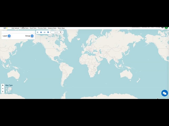
In this video you will learn about open source software for spatial data analysis in GIS GIS lectures: ...

2:06
Open Source Software for Spatial Data Analysis

664 views

3 years ago

Spatial Thoughts
Exercise 14 - Introduction to NumPy - Python Foundation for Spatial Analysis

This video is part of our Python Foundation for Spatial Analysis course. Access the full course material at ...

0:29
Exercise 14 - Introduction to NumPy - Python Foundation for Spatial Analysis

643 views

1 year ago