Upload date
All time
Last hour
Today
This week
This month
This year
Type
All
Video
Channel
Playlist
Movie
Duration
Short (< 4 minutes)
Medium (4-20 minutes)
Long (> 20 minutes)
Sort by
Relevance
Rating
View count
Features
HD
Subtitles/CC
Creative Commons
3D
Live
4K
360°
VR180
HDR
43,452 results
Want to accurately delineate land parcels for urban planning, real estate, or property assessment? In this tutorial, we'll show you ...
313 views
10 months ago
Ready to move beyond desktop GIS? Step into the Spatial Lab: a global community for ambitious geospatial professionals who ...
12,812 views
1 year ago
qgis #gis #opensource.
2,096 views
6 months ago
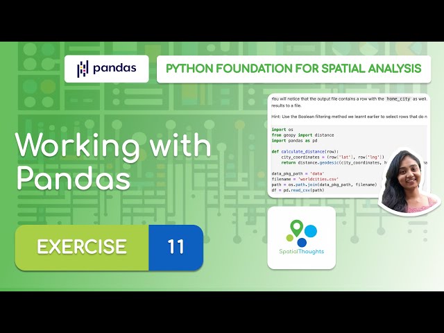
This video is part of our Python Foundation for Spatial Analysis course. Access the full course material and download the ...
15,850 views
This video is part of our Python Foundation for Spatial Analysis course. Access the full course material at ...
2,651 views
873 views
Geospatial data analysis - Planar projected ellipsoid distance from White House to McDonald's. Apply Python Libraries ...
807 views
3 years ago
757 views
Dear Viewers, Here we will see how to use the Jupyter notebook to plot locations. Reference: ...
462 views
4 years ago
Geoprocessing using Python - Manipulating spatial data Full lesson: https://gum.co/YPmrj Buy full course here: on ...
305 views
8 years ago
This video tutorial has been taken from Hands-On Geospatial Analysis with QGIS 3.10 and Python. You can learn more and buy ...
1,026 views
5 years ago
In this video you will learn about open source software for spatial data analysis in GIS GIS lectures: ...
646 views
755 views
Each of these models has different characteristics and suitability for various types of spatial data. The choice of variogram model ...
3,875 views
601 views
Team- C010 Group Members- Ayushi Meena (24110063) Prabhanshu Chouhan (24110263) Saksham Chourasia (24110312) ...
89 views
Shop Now on Amazon! https://www.amazon.com/dp/1789959276?tag=dream2018-20&linkCode=osi&th=1&psc=1 Master ...
14 views
11 months ago
Custom python codes via Grasshopper exploring ways of visualizing spatial data. Python elective submission completed as part of ...
235 views
6 years ago
Rapid advancements in geospatial technologies such as geographical information systems (GIS), global position systems (GPS) ...
23,120 views
Have you wondered what Geo-Spatial Analysis is?? Or are you curious about the global status of COVID-19? Here is your answer ...
25 views
2 years ago