Upload date
All time
Last hour
Today
This week
This month
This year
Type
All
Video
Channel
Playlist
Movie
Duration
Short (< 4 minutes)
Medium (4-20 minutes)
Long (> 20 minutes)
Sort by
Relevance
Rating
View count
Features
HD
Subtitles/CC
Creative Commons
3D
Live
4K
360°
VR180
HDR
4,887 results
Geospatial Python Playlist: https://www.youtube.com/playlist?list=PL-2EBeDYMIbRWlllfgcAJGkfUW0GFFrNu ☕ Buy a coffee: ...
31,711 views
3 years ago
For real-time updates on events, connections & resources, join our community on WhatsApp: https://jvn.io/wTBMmV0 Geospatial ...
14,534 views
2 years ago
In this tutorial we build a choropleth map using the Folium library (mapping) and the Pandas library (data preparation).
14,149 views
4 years ago
Blog post for this video - https://nagasudhir.blogspot.com/2021/08/draw-heatmap-on-python-folium-map.html In video we will get ...
15,318 views
The following video shows how to create Interactive Maps in the Python programming language using the Folium library. We'll ...
15,561 views
Build a complete interactive city map in Python with routes, landmarks, and a heatmap using the folium library. This is a simple yet ...
209 views
1 month ago
Create Animated lines in python folium maps using antpath folium plugin Blog post for this video ...
5,294 views
This is a preview of a complete course on using Folium. Python's Folium library gives you access to the mapping strengths of the ...
11,576 views
Creation of Maps, Markers and Custom Markers with Python Folium and Leaflet.js. In case of any questions, just drop a comment.
77,376 views
6 years ago
848 views
Learn how to create an interactive map viewer with Streamlit in this tutorial! Using the powerful Plotly and Folium libraries ...
1,813 views
1 year ago
Learn how to create Leaflet web maps from scratch with Python and the Folium library. The tutorial has been extracted from "The ...
36,591 views
9 years ago
En este video veremos como crear de una manera sencilla mapas con python usando la librería folium. Enlaces: - pagina de ...
661 views
Découvrez comment créer des cartes interactives impressionnantes avec Python et Folium. Dans cette vidéo, nous allons tracer ...
204 views
5 months ago
In video we will get to know how to draw circles and circle markers in maps using python folium Blog post for this video ...
8,962 views
Hak5 -- Cyber Security Education, Inspiration, News & Community since 2005: In this episode of HakByte, Alex Lynd ...
19,423 views
Detail maps are used to visualize data by showing the geographic distribution of a particular attribute. They highlight patterns ...
6,132 views
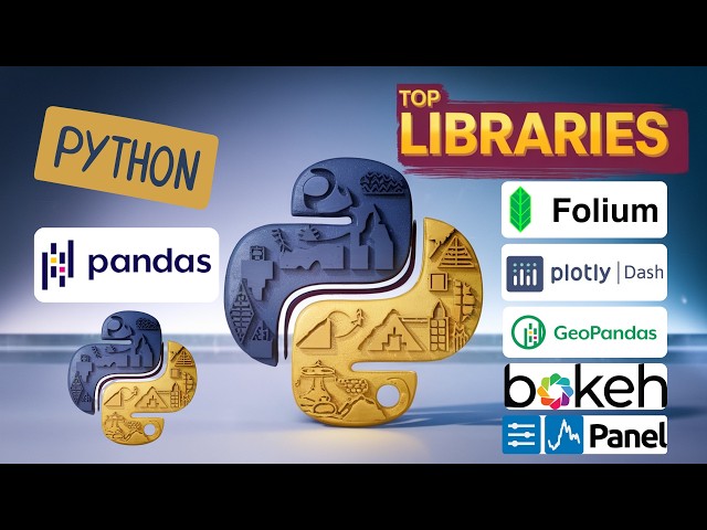
BUILD Interactive Dashboards with TOP Python GIS Libraries! #datascience #datavisualization #gis #python #Folium #Plotly ...
840 views
10 months ago
This short tutorial video is about use the folium package in Python to create interactive heat maps and time-series heat maps.
18 views
2 weeks ago
El siguiente vídeo muestra como crear un mapa base en el lenguaje de programación Python, haciendo uso de la librería Folium ...
899 views