ViewTube

ViewTube
Sign inSign upSubscriptions
Filters

Upload date

Type

Duration

Sort by

Features

Reset

318 results

Geoinformatics
Documenting a Geo spatial Conceptual Data Model

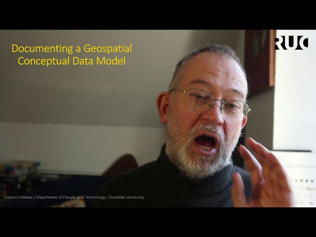
Documenting Geo spatial Conceptual (Ontology) using text forms and ER-diagramming 0:00 Introduction 00:55 Entity vs property ...

11:13
Documenting a Geo spatial Conceptual Data Model

187 views

4 years ago

Robin Lovelace
R for Spatial Analysis (3 of 3): Getting started with the practical

This video explains how to get started with the tutorial, an Introduction to Visualising Spatial Data in R, which can be found on my ...

15:19
R for Spatial Analysis (3 of 3): Getting started with the practical

1,872 views

11 years ago

Australian Research Data Commons - ARDC
Big Spatial Data seminar Part 2- Rahul Ramachandran

Big Spatial Data seminar - Rahul Ramachandran - University of Alabama - July 25th 2013. Automated Event Services: That utilize ...

11:11
Big Spatial Data seminar Part 2- Rahul Ramachandran

313 views

12 years ago

Scott Patterson
Meterology Data Mining in Excel (How-to)

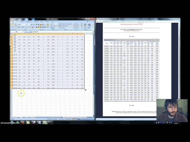
Quick tutorial on how to data mine here in Excel, from our Weatherbug site.

5:04
Meterology Data Mining in Excel (How-to)

409 views

12 years ago

Geoinformatics
Geospatial Data Modelling

A overview of Geospatial Data Modelling including Conceptual models (ontologies) Digital representation models Analysis ...

19:41
Geospatial Data Modelling

6,062 views

7 years ago

Algokodabra
DBSCAN: density-based spatial clustering of applications with noise

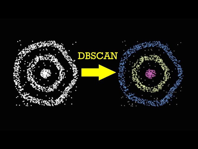
Clusterize a set of 2D points using the DBSCAN algorithm. Main advantages of this method are ability to handle clusters of any ...

8:06
DBSCAN: density-based spatial clustering of applications with noise

523 views

5 years ago

Daniel Arribas-Bel
Regionalisation (Spatial Clustering) - A Course on Geographic Data Science

Block G of the Geographic Data Science course - "Clustering" More materials related to the content in this video are available at: ...

12:35
Regionalisation (Spatial Clustering) - A Course on Geographic Data Science

1,831 views

4 years ago

weecology
Geospatial Data in R - Introduction to Vector Data

This video is an introduction to vector data and how to work with it in R. Vector data includes all kinds of spatial data that are not ...

15:02
Geospatial Data in R - Introduction to Vector Data

6,334 views

5 years ago

TALE: The Archaeology Lecture E-library
Using Data Mining techniques to evaluate Bronze Age metallic components

The relationship between different human groups in the Bronze Age is an open issue where the lack of data makes necessary the ...

19:23
Using Data Mining techniques to evaluate Bronze Age metallic components

55 views

6 years ago

Geoinformatics
How  easiest to acquire the data you need for your GIS project

In this video, I try to answer one of the key questions I am asked a lot as a teacher and consultant of the geodata namely who do ...

18:35
How easiest to acquire the data you need for your GIS project

481 views

3 years ago

Sergio Peignier
EvoWave: Evolutionary Subspace Clustering on Wi-Fi Data (high non functional transition)

EvoMove application (https://evoevo.liris.cnrs.fr/). Subspace Clustering of wifi signals using an evolutionary algorithm ...

5:42
EvoWave: Evolutionary Subspace Clustering on Wi-Fi Data (high non functional transition)

37 views

7 years ago

European Association of Archaeologists
LINKING THE ARTEFACTS OF THE FUTURE: HERITAGE LINKED DATA

Considerable advances have been made through research in exploring ways to develop greater semantic interoperability ...

15:44
LINKING THE ARTEFACTS OF THE FUTURE: HERITAGE LINKED DATA

19 views

4 years ago

TALE: The Archaeology Lecture E-library
Exploring spatial autocorrelation in archaeological spaces using R

Spatial autocorrelation describes how the value of spatial data varies as the distance between the data increases or decreases, ...

17:59
Exploring spatial autocorrelation in archaeological spaces using R

508 views

6 years ago

TALE: The Archaeology Lecture E-library
Statistical methods for the exploration of the spatial information in anthropogenic soils

Chemical analysis of sediments has became a common practice in archaeology in the last dec-ades, not only for prospecting ...

15:07
Statistical methods for the exploration of the spatial information in anthropogenic soils

120 views

5 years ago

Riccardo Klinger (Digital Geography)
GIS Lesson 7 4 a: Spatial Statistics

In this lesson we will have a look at descriptive statistics and how to sample data. Furthermore we will explore some more ...

13:38
GIS Lesson 7 4 a: Spatial Statistics

1,119 views

5 years ago

Introduction to Data Science
Spatial Data Analysis 6: Folium

A rapid introduction to the python folium library.

5:25
Spatial Data Analysis 6: Folium

785 views

3 years ago

TALE: The Archaeology Lecture E-library
The recent contributions of Mobile GIS in the study of flint mining

Orońsko mining region it is a place where the famous Orońsko 2 site is located, which is considered being one of the oldest (Late ...

18:55
The recent contributions of Mobile GIS in the study of flint mining

104 views

6 years ago

Akash Gaikwad
Unit 5 Spatial & Non Spatial Data
9:07
Unit 5 Spatial & Non Spatial Data

402 views

3 years ago

ResearchData UoE
MANTRA - Ellie Bates - Challenges in working with spatial data

This video is part of MANTRA, the Research Data Management free online course created by the University of Edinburgh Data ...

5:34
MANTRA - Ellie Bates - Challenges in working with spatial data

5,215 views

12 years ago

Lars Juhl Jensen
Network-based discovery: A short introduction to the core concepts of knowledge discovery in graphs

A short introduction to the core concepts of network-based discovery, which is discovery of new knowledge from existing networks.

7:17
Network-based discovery: A short introduction to the core concepts of knowledge discovery in graphs

1,917 views

3 years ago