Upload date
All time
Last hour
Today
This week
This month
This year
Type
All
Video
Channel
Playlist
Movie
Duration
Short (< 4 minutes)
Medium (4-20 minutes)
Long (> 20 minutes)
Sort by
Relevance
Rating
View count
Features
HD
Subtitles/CC
Creative Commons
3D
Live
4K
360°
VR180
HDR
41 results
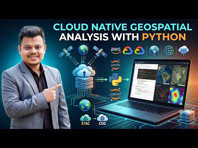
Learn Cloud Native Geospatial Analysis with Python in this comprehensive GIS and Remote Sensing tutorial.
132 views
Streamed 13 days ago
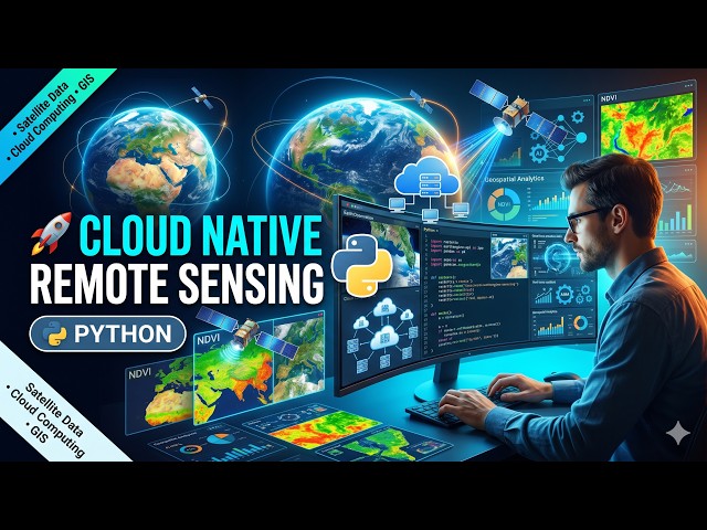
Learn how to perform Cloud Native Remote Sensing with Python using modern geospatial technologies and cloud-based Earth ...
255 views
Streamed 4 weeks ago
GeoAI is transforming how Earth observation data are analyzed and interpreted, yet its integration into geospatial education is ...
74 views
3 weeks ago