Upload date
All time
Last hour
Today
This week
This month
This year
Type
All
Video
Channel
Playlist
Movie
Duration
Short (< 4 minutes)
Medium (4-20 minutes)
Long (> 20 minutes)
Sort by
Relevance
Rating
View count
Features
HD
Subtitles/CC
Creative Commons
3D
Live
4K
360°
VR180
HDR
8,491 results
This video offers a python programming tutorial showing how to use US Census tract-level data to make a thematic map with ...
18 views
4 months ago
Empezar con Flask, para el desarrollo de una aplicación web map. UNIGIS Girona: https://www.unigis.es.
214 views
3 years ago
Alexander Kmoch, Topi Tjukanov University of Tartu - https://allixender.github.io/30MapChallenge2020/geopython2021/ In 2019, ...
105 views
4 years ago
by Hartmut Holzgraefe At: FOSDEM 2018 Room: AW1.126 Scheduled start: 2018-02-04 15:30:00+01.
6,209 views
8 years ago
In this comprehensive GIS tutorial, we'll move beyond basic mapping to answer a critical urban planning question: How ...
2,668 views
8 months ago
Christy Heaton https://2018.northbaypython.org/schedule/presentation/14/ Maps are cool and so is Python! It turns out they play ...
36,223 views
7 years ago
In this tutorial, we delve into the world of anonymous functions and explore how Lambda functions streamline your code.
54,965 views
Python is the ideal language for geo spatial data science. In this real-life use case, Dominik presents an open-source full-stack ...
410 views
Streamed 3 years ago
https://media.ccc.de/v/sotm2022-18516-the-maposmatic-apis-generate-printable-maps-from-your-own-application The ...
144 views
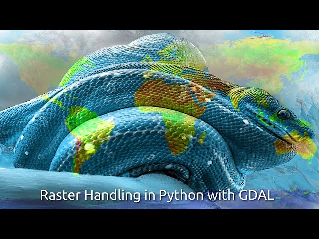
Read, create, and modify geospatial raster (grid) data sets with GDAL in Python and materials provided at ...
341 views
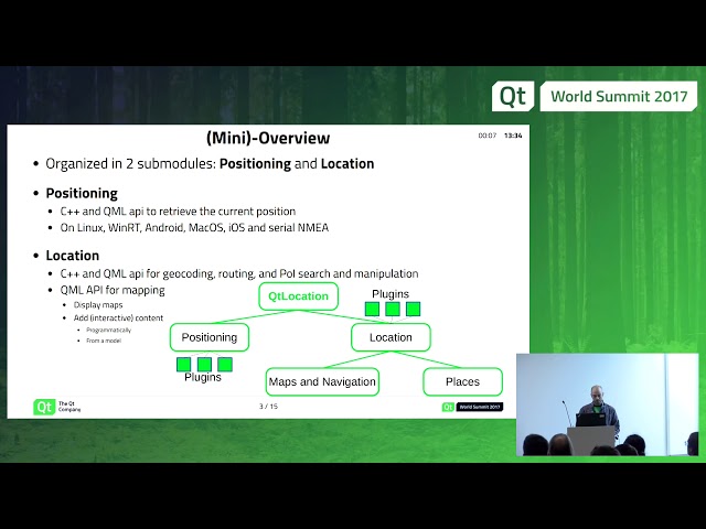
In this talk you will learn what features are now available in QtLocation 5.9, how to use them, and what new scenarios they enable.
4,485 views
00:00 Programmation fonctionnelle 06:33 map 09:09 filter 10:53 Application map et filter 14:49 reduce 17:38 reduce sur les ...
267 views
1 year ago
Maps are popular means to visualise geospatial data. Companies often possess datapoints with latitute and longitude; ...
165 views
EuroPython 2022 - Maps with Django - presented by Paolo Melchiorre [Wicklow Hall 1 on 2022-07-14] A _map_ in a website is ...
1,036 views
This video uses a case study of "language spoken at home" with data from the US census to review cleaning pandas data and ...
215 views
Anders Lehmann - How to GIS with Python [EuroPython 2015] [24 July 2015] [Bilbao, Euskadi, Spain] In this talk I will present ...
8,385 views
10 years ago
Giuseppe Cammarota - Activity Map from space: supporting mine clearance with Python [EuroPython 2015] [22 July 2015] [Bilbao, ...
237 views
Extracto primera sesión online del módulo BigData de la carrera Data Science en Desafío Latam.
462 views
6 years ago
Python is a powerful open source programming language that you can use across the ArcGIS system. Though the language is ...
3,098 views
This video is part of the open course Programming for Geospatial Hydrological Applications. In this course you'll learn an ...
1,399 views
Python users of all skill levels should join this session to learn how to easily supercharge their mapping, modeling, and analyses ...
332 views
Learn to create functions Python with materials provided at https://hydro-informatics.com/jupyter/pyfun.html The jupyter notebooks ...
114 views
This workshop is ideal for someone who has recently started using python and exploring the possibilities of it in the GIS industry.
1,433 views
NYC Open Data Week 2024 55 Where to Park? Using Python to Map Parking Regulation Signs to the Curb in Near Real Time ...
276 views
https://media.ccc.de/v/froscon2017-2035-rendering_map_data_with_mapnik_and_python Mapnik is an open source toolkit for ...
6,008 views