Upload date
All time
Last hour
Today
This week
This month
This year
Type
All
Video
Channel
Playlist
Movie
Duration
Short (< 4 minutes)
Medium (4-20 minutes)
Long (> 20 minutes)
Sort by
Relevance
Rating
View count
Features
HD
Subtitles/CC
Creative Commons
3D
Live
4K
360°
VR180
HDR
8 results
Geographic Information Systems (GIS) have become indispensable across industries such as urban planning, environmental ...
0 views
14 hours ago
GeoLibre is an open-source Python library designed to simplify geospatial data processing, visualization, and spatial analysis.
2 views
GeoPackage (.gpkg) has become one of the most modern and widely adopted geospatial data formats for GIS applications, ...
Jupyter Notebook Walkthrough Welcome to Part 3 of the Florida Housing Cost Burden Analysis (2026) project showcase!
52 minutes ago
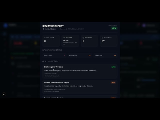
CityNerve is an AI-powered digital twin platform designed to help cities predict, monitor, and respond to disasters in real time.
5 views
10 hours ago
DAAF (the Data Analyst Augmentation Framework) is a free, open-source toolkit that turns Claude Code into a powerful, ...
26 views
6 hours ago
If you've built something in Python worth sharing, a notebook doesn't cut it. Dash turns your analysis into a real web app, ...
4 views
1 minute ago
ADD THE DATA SCIENCE HANGOUT TO YOUR CALENDAR HERE: https://pos.it/dsh - All are welcome! We'd love to see you!
59 views